Scenic helicopter tours
From Kelingking on Nusa Penida to Mount Agung, routes shaped with pilots and photographers for the strongest views.

Concierge replies within one business hour.
About Bali Copter Tour
We share Bali from the one angle that shows its full scale — safe, carefully planned flights from DPS heliport, arranged end to end by our concierge.
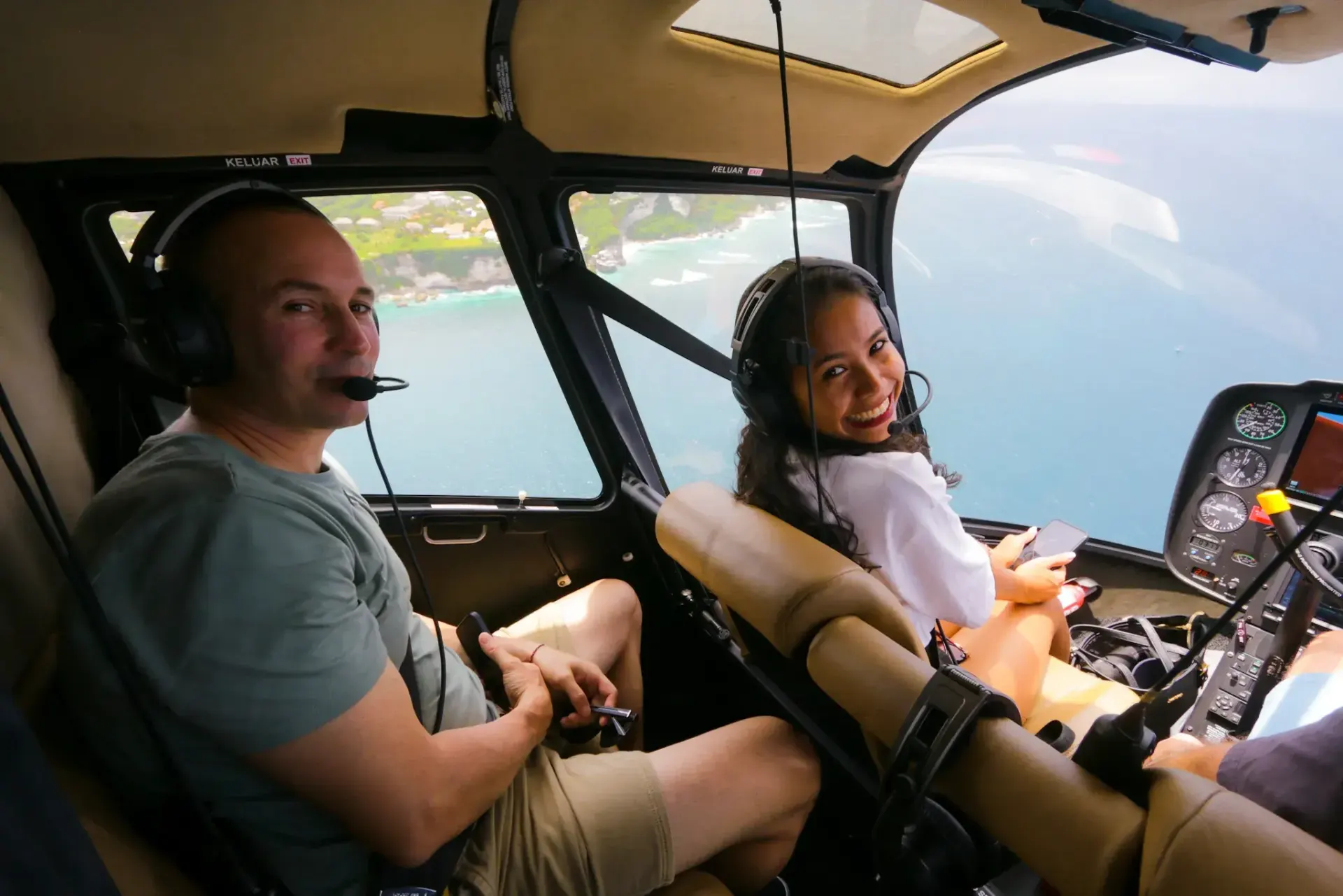
Who We Are
Uluwatu’s cliffs, Batur’s caldera, Tegallalang’s terraces and the water around Nusa Penida only show their true scale from above. Our work is to make that view an experience that is carefully run from start to finish.
We are based at the DPS heliport at Ngurah Rai, fly the Bell H125 and Robinson R66, and plan every flight within Indonesia’s civil aviation rules.
Harmony between people, nature and the divine guides every flight we plan.
Tri Hita Karana · Our operating principle
What We Do
Every service is built around the same thing: showing Bali and its neighbouring islands at their best.
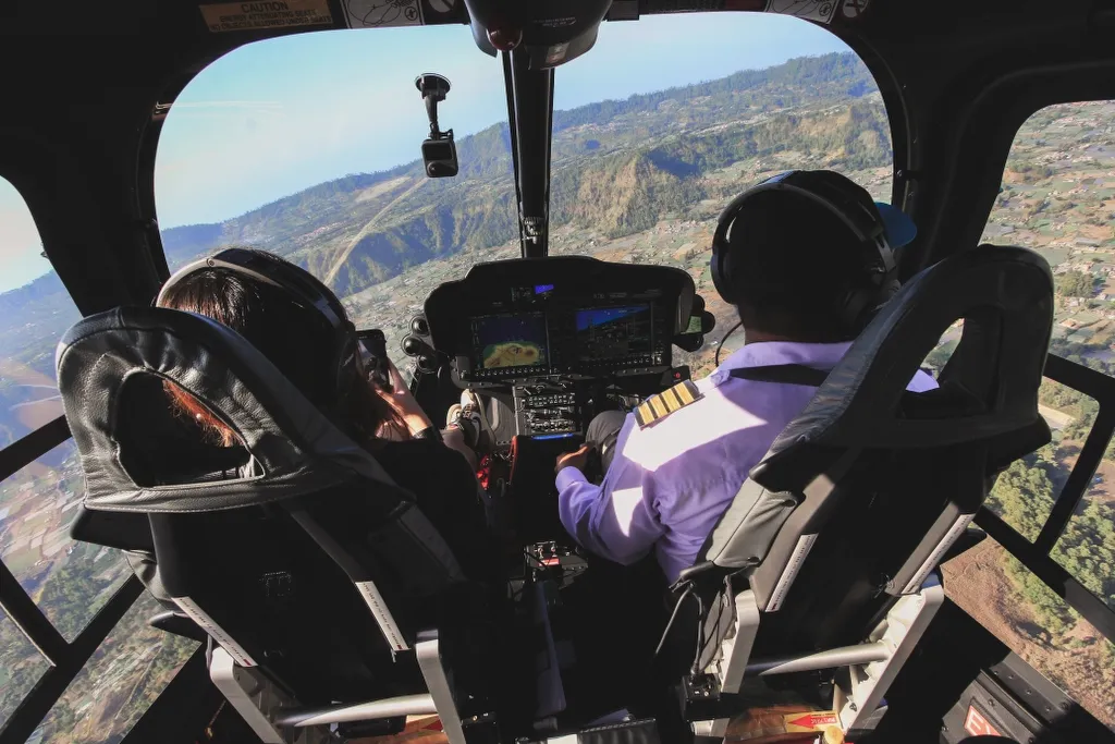
How We Work
We believe true luxury is peace of mind — from your first message to the moment you touch down.
DGCA-certified pilots, maintenance to manufacturer schedules and flight plans checked before every departure.
Routes that respect sacred sites and the communities below, backed by our sustainability practices.
One concierge plans your date, route and transfers, replying within one business hour.
Why From Above
Our expertise is understanding the island — where to look, and when.
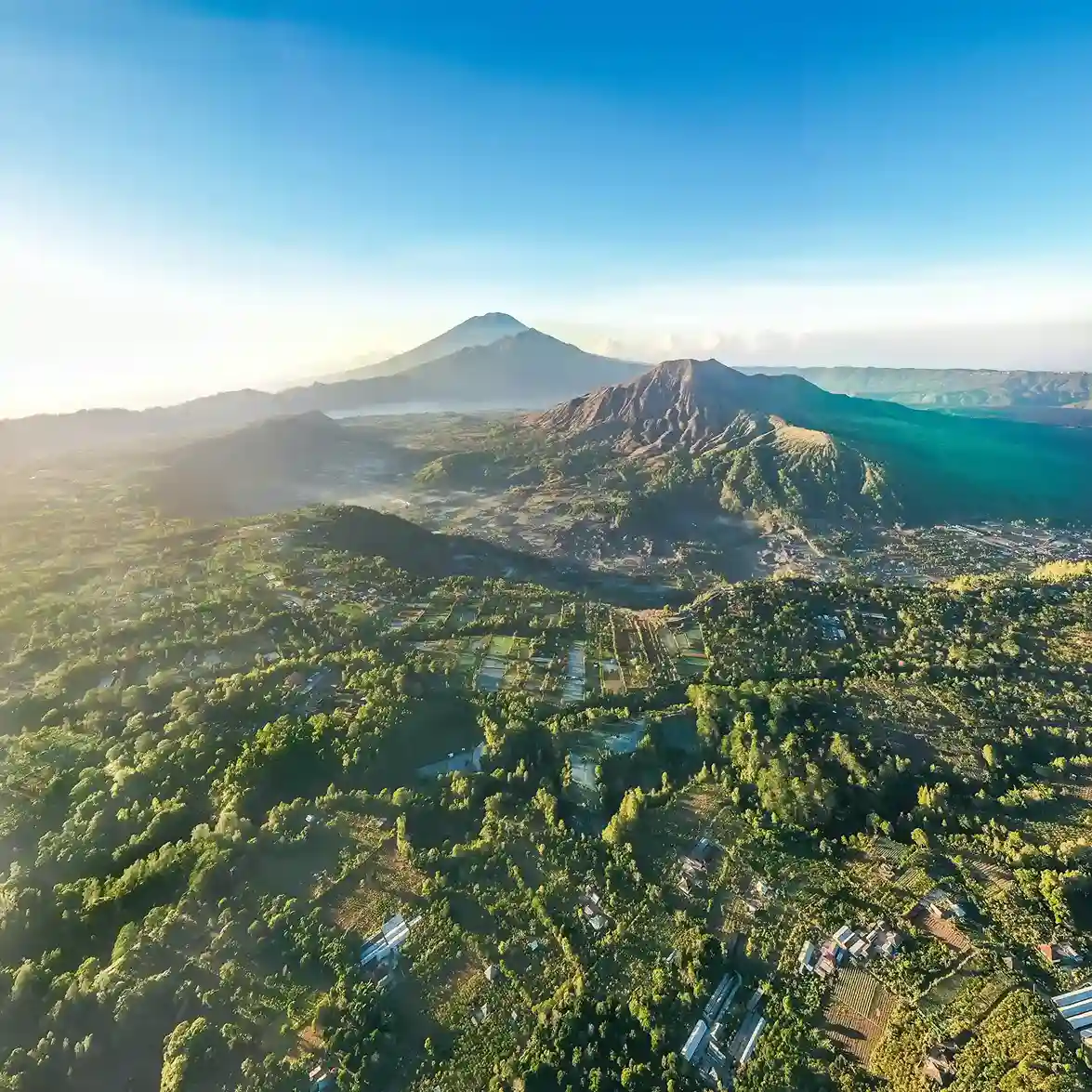
From the air, Bali’s volcanic origins make sense: Batur’s caldera and crater lake, with Mount Agung rising behind it.
The subak irrigation landscape, recognised by UNESCO in 2012, reads as one pattern from above.
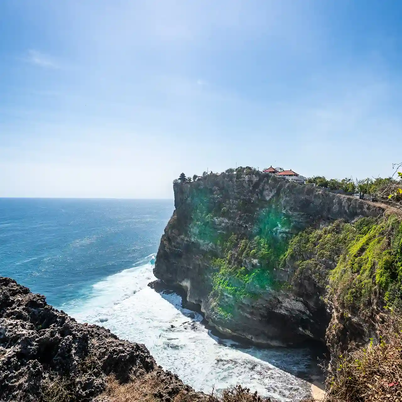
On the coast, Uluwatu temple sits on a cliff about 70 m above the sea.

We know when morning mist settles in the Sidemen valley and which angle catches the sunset over Uluwatu — and we fly with respect for both.
Trust & Transparency
Plan With Us
Tell us your dates and the view you have in mind. Our concierge replies within one business hour.